Exploring Plate Tectonics and its Role in Land Uplift
This unit will introduce students to tectonic plates. Students will develop questions after viewing satellite images showing uplift along the coast of New Zealand from 2010 to 2016. Throughout the unit, students will analyze pieces of evidence to answer their questions and eventually come to understand tectonic plates’ role in causing uplift in land through mountain formation and earthquakes.
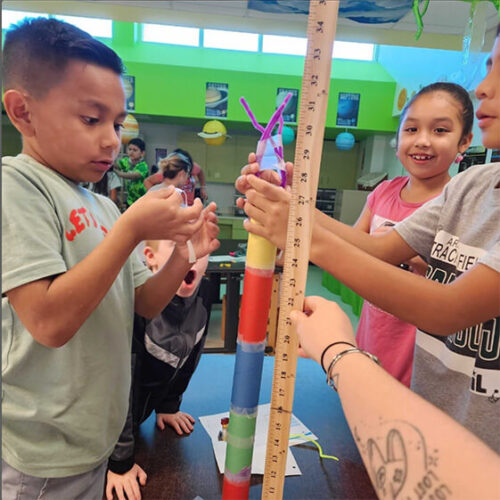
The Earth’s crust or lithosphere is made up of giant plates that shift and move on top of the slow moving mantle. The plates are always slowly shifting and over millions and millions of years this leads to the formation of many of the geological features of Earth like volcanoes and mountain ranges.
Where the plates meet, different boundaries are formed: divergent, convergent, and transform. Divergent boundaries are where the plates are moving apart from each other. These are most often found at ocean floors. Convergent boundaries occur where plates are pushing towards each other and transform boundaries occur where plates slide next to each other. The pushing of these plates against each other leads to an increase in stored energy and pressure. When this energy is released, the plates move quickly in a short amount of time. This is what happens when we experience an earthquake.
Students will model the motion of the plates at the different boundary types and learn to see how the moving of the plates shape our planet.
Looking for the answer keys for this activity bundle? Complete this form to gain the password to our Activity Keys webpage.
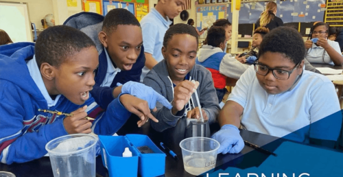
In this design challenge, students will work together to design a tool or process that successfully removes an invasive species from an ecosystem while minimizing harm to the native species and environment.
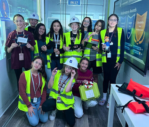
In this challenge, students will practice problem-solving and collaboration skills as they design, build, and test their wind turbine
prototypes. Students will explore the role of renewable energy in powering communities, learn about energy transfer and mechanical systems, and gain insight into the importance of sustainable energy solutions.
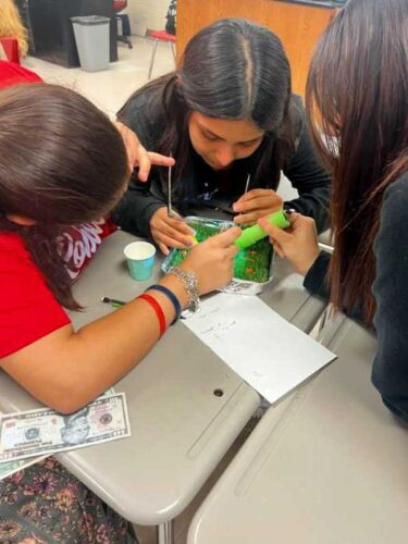
In this activity, students will read the story "In a Garden" by Tim McCanna. They will learn about the life cycle of a plant, what seeds need to grow, and what keeps seeds from growing. They will then create their own seed house and watch their seeds sprout!